The collection of globes, with examples from the beginning of the 17th to the 19th century, is among the highlights of the Strahov Library. Besides an extensive collection of atlases, it is also possible to study a collection of maps. Since most of these materials are digitized, the study of originals is only exceptionally possible.
M. Seutter, Praga celeberrima, post-1710
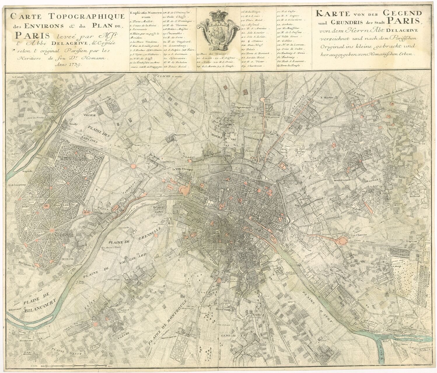
Characteristics of the Map Collection
The map collection likely originated from the need to organize loose map sheets or city plans that didn't fit into standard cataloging. At the end of the 19th or the beginning of the 20th century, a simple card catalog was compiled. After the dissolution of the monastery in 1950, the Memorial of National Literature took over the maps and merged them with similar collection materials; nonetheless, individual pieces were identified during restitution. After restitution in the early 21st century, the card catalog proved insufficient, so the maps were newly cataloged in the Tritius system. Due to the extraordinary sensitivity of cartographic documents, digitization is desirable to avoid lending originals to researchers except in very exceptional cases.
Digitization was carried out in collaboration with the Research Institute for Geodesy, Topography, and Cartography as part of the NAKI project Cartographic Sources as Cultural Heritage. The digital copies are georeferenced, allowing for the search of specific geographic areas based on Google Maps. Globes and selected atlases have also been digitized. For example, one can view the terrestrial globe by Blaeu from 1630, the terrestrial globe by the Czech company Felkl from the mid-19th century, and the terrestrial globe by the company Jüttner - Lettany from 1822 (Mozilla browser recommended). The remarkable collection of globes is displayed in the exhibition in front of the Theological Hall. Unfortunately, archival documents do not reveal when the globes arrived at the Strahov Monastery, whether they were purchased as a whole or gradually, and from whom. In the last twenty years, the entire collection has undergone restoration, and it was also possible to supplement it with a star globe by the company Felkl.
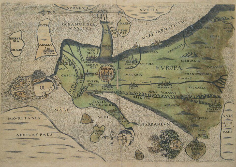
Europe in the form of a queen, 1592
Photogallery
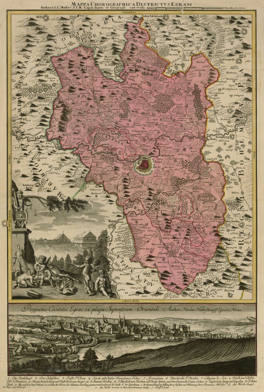
J. Ch. Müller, Mappa chorographica districtus Egrani, early 18th century
Section from Johann Christoph Müller's map of Bohemia, 1720